Skip to main content
Home
Presenter Information
Schedule
Abstracts
Presentations
Photos
Keynotes
Registration
Special Sessions
Participants
Sponsors
Accommodation
Maps
QRA Publication Discount
Field trips
Log in
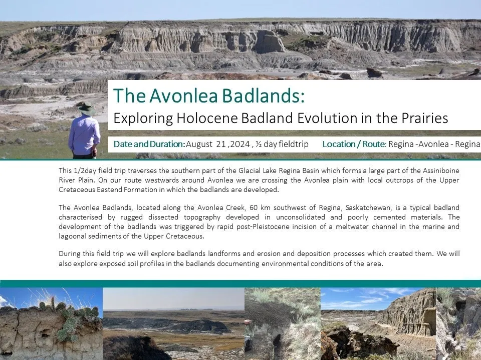
Field trips
Powered by
Run your next event
with Fourwaves